
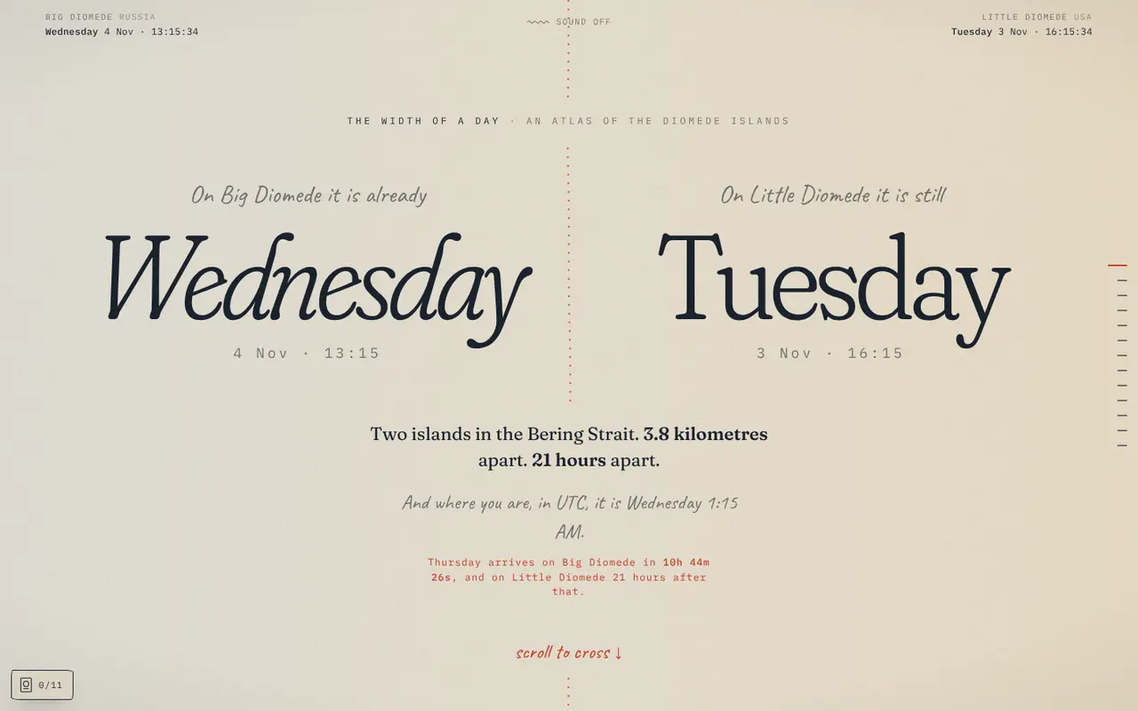
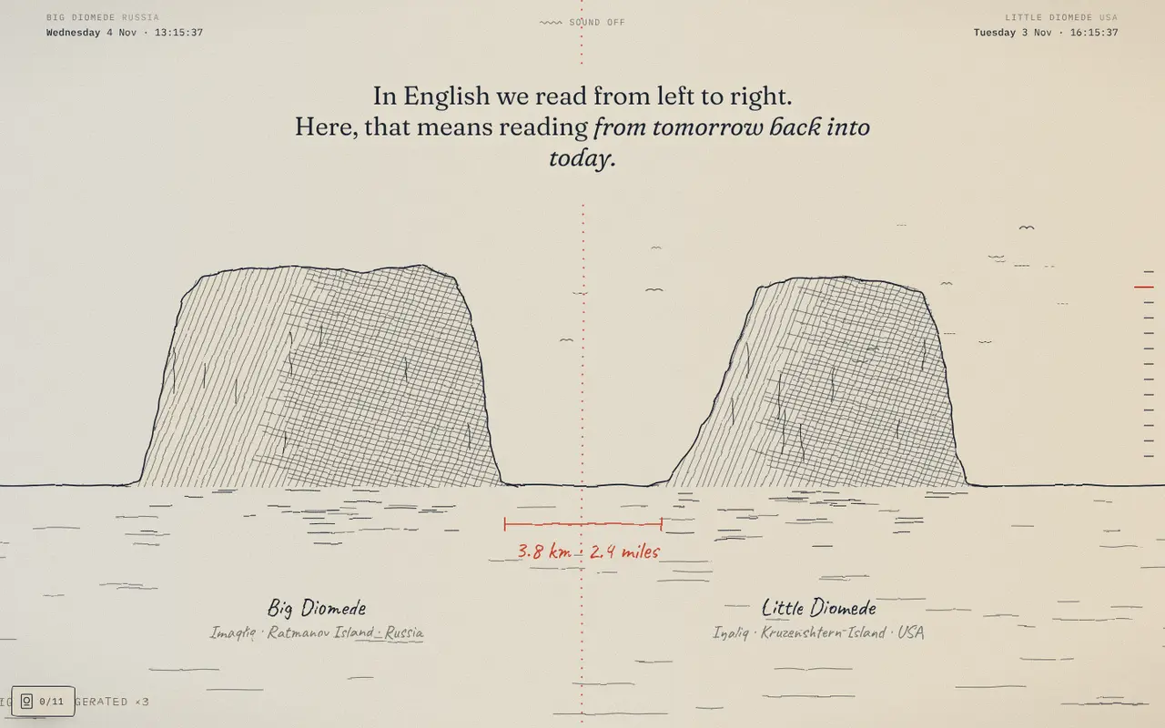
Big Diomede (Russia) and Little Diomede (Alaska) are two islands in the Bering Strait, 3.8 kilometers apart. The International Date Line runs between them, so one is nearly a day ahead of the other. The Width of a Day is a hand-drawn atlas of that gap: you scroll across the line, and the story of the place unfolds as you go.
What you find
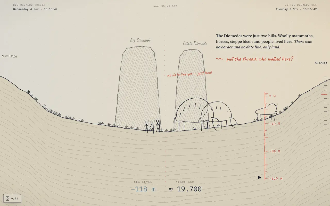
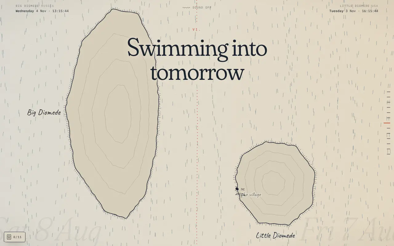
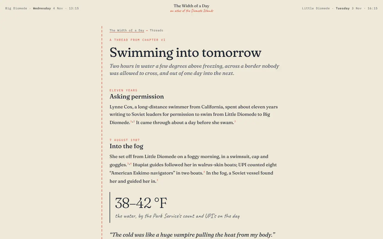
Twelve chapters, in one scroll. The date line and how it came to be, the map lines drawn on water, a drained sea that turns the strait back into land, the Cold War Ice Curtain, Lynne Cox's 1987 swim from one island to the other, and the thaw that followed. Then the village on Little Diomede, where the sky and the lamps follow the real sun.
The drawings quiver like hand-made animation, and the clocks are live. Along the way you can work out your own longest birthday, send a paper boat to a friend by link, and collect stamps in a passport you can share.
Going deeper
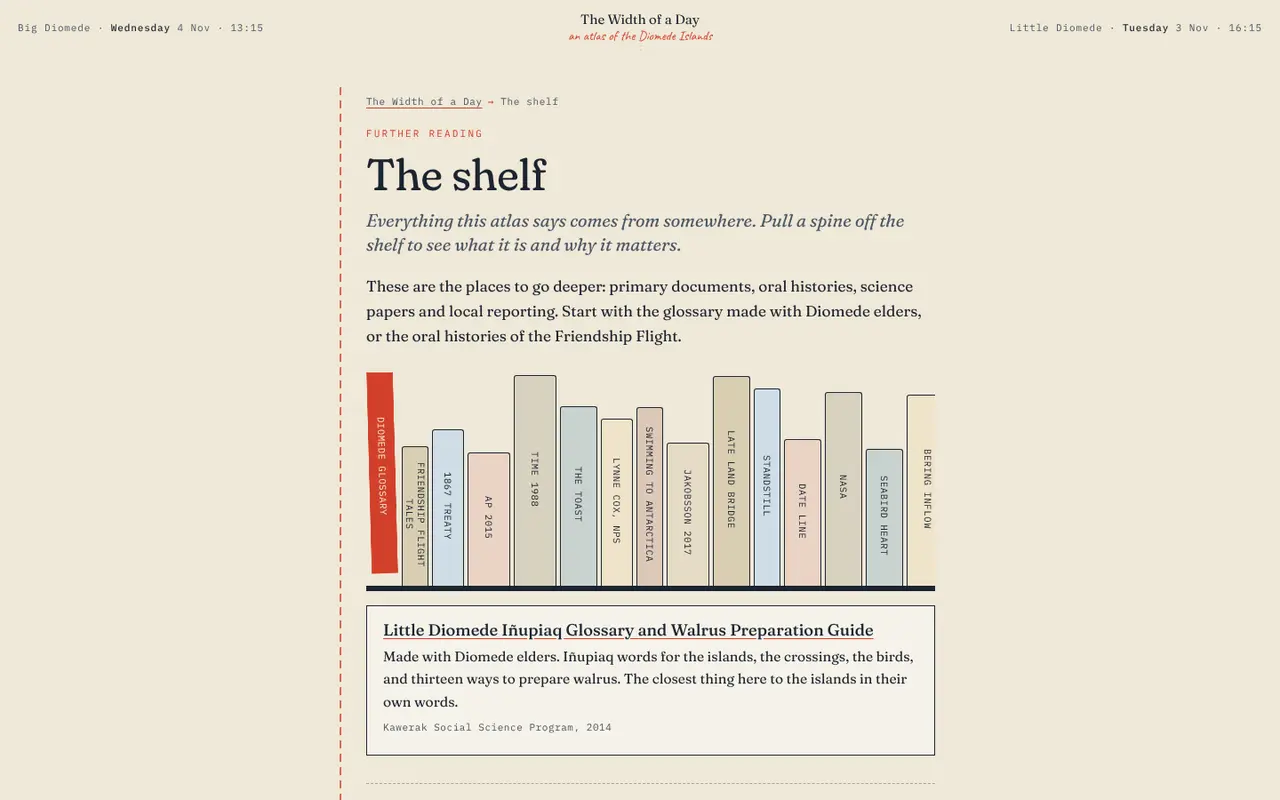
Small red numbers in the margins open sourced notes. Seven threads pull out side stories as full pages: the families the line divided, the land bridge, how the date line works, every name the islands have had. There is a page of short answers to common questions, and a shelf where every source is a book spine.
Who it is for
Anyone curious about geography, time zones or the north, and anyone who wants to learn something from a page that treats scrolling as a way of reading.
Nothing is stored on a server. Passport stamps stay in your browser, and a shared message travels inside the link itself.
